
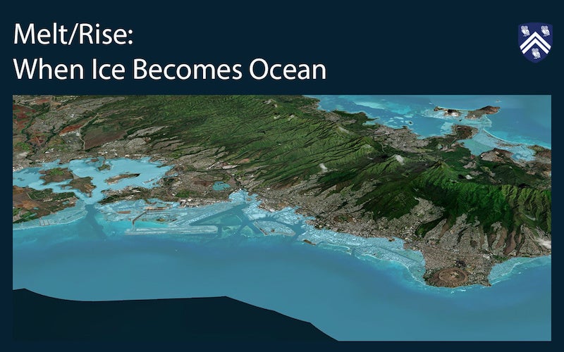
Rice Anthropology Graduate Students Laurin Baumgardt, Quinn Georgic, Rigoberto Quintana, and Professor Cymene Howe have begun work on a Geographic Information System (GIS) Project titled “Melt/Rise: When Ice becomes Ocean,” sponsored by NSF.
Using the Gradient Fingerprint Map (GFM) data provided by NASA (https://vesl.jpl.nasa.gov/sea-level/slr-gfm/) they are mapping cryospheric loss and hydrological gain between four sites: Iceland (melting glaciers) and Cape town (increasing seal level); Greenland (melting ice sheet and glaciers) and Honolulu (increasing seal level) to illustrate how each place is connected through water transformed by climate change. Using both quantitative and qualitative data to show the impact and adaptation of the four sites. Rigoberto has been leading the creation of an ArcGIS/ESRI story map with the help of the Spatial Studies Lab staff, Uilvim Ettore and Ualas Rohrer. Laurin and Quinn have been active in gathering extensive data for the project.